Weather Observations
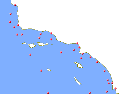
Currently, map this mainly reproduces the functionality of the Southwest California Recent Marine Data page at the National Buoy Data Center. Click on a map symbol to view the latest weather observations recorded at that location. Later, I hope to do automated graphical updates on the map, with wind roses indicating direction and strength, and wave symbols indicating height and period.
| ||